Satlas
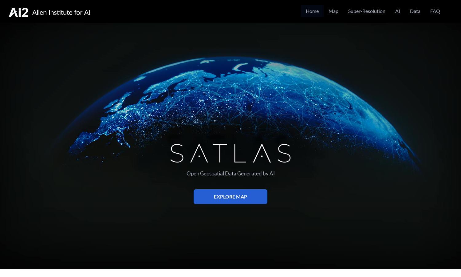
About Satlas
Satlas offers an innovative approach to tracking global environmental changes through AI-annotated satellite imagery. Users can explore crucial data and visualize transformations in marine and renewable energy infrastructures, deforestation, and land use, benefiting researchers, environmentalists, and policymakers seeking real-time insights and data analysis.
Satlas provides free access to AI-generated geospatial datasets perfect for research and offline analysis. Users can download datasets and explore AI models. With no cost involved, Satlas ensures that accessible data equips users for extensive environmental studies and geographical research, enhancing their analytical capabilities.
Satlas features a user-friendly interface designed for seamless exploration of satellite imagery and geospatial data. Its intuitive layout enables quick navigation through extensive datasets and imagery, allowing users to efficiently access and analyze information, ensuring that users have an enjoyable and productive browsing experience.
How Satlas works
Users begin by visiting Satlas, where onboarding prompts guide them through the platform's features. With a user-friendly interface, they can access AI-annotated satellite imagery, download datasets, and explore changes in infrastructure and environmental data. The AI models enhance low-resolution images, providing detailed insights into our planet's transformations.
Key Features for Satlas
AI-annotated Satellite Imagery
Satlas specializes in providing AI-annotated satellite imagery, offering users detailed visual analyses of environmental changes. This unique feature benefits researchers and environmentalists by revealing critical insights into marine and renewable infrastructure, deforestation, and land transformations, enhancing understanding and facilitating informed decision-making.
Super-Resolution Image Enhancement
Satlas features advanced super-resolution capabilities that enhance low-resolution satellite imagery into high-resolution visuals. This feature empowers users to gain clearer insights into geographical changes, making it invaluable for detailed analysis, research, and monitoring environmental impacts, thus strengthening overall user experience with the platform.
Open Geospatial Data Access
Satlas offers open access to AI-generated geospatial datasets, allowing users to freely download and analyze critical environmental data. This accessibility ensures that researchers and policymakers can perform comprehensive analyses, enhancing their projects while contributing to informed decision-making regarding environmental conservation and infrastructure development.
You may also like: