Textomap

About Textomap
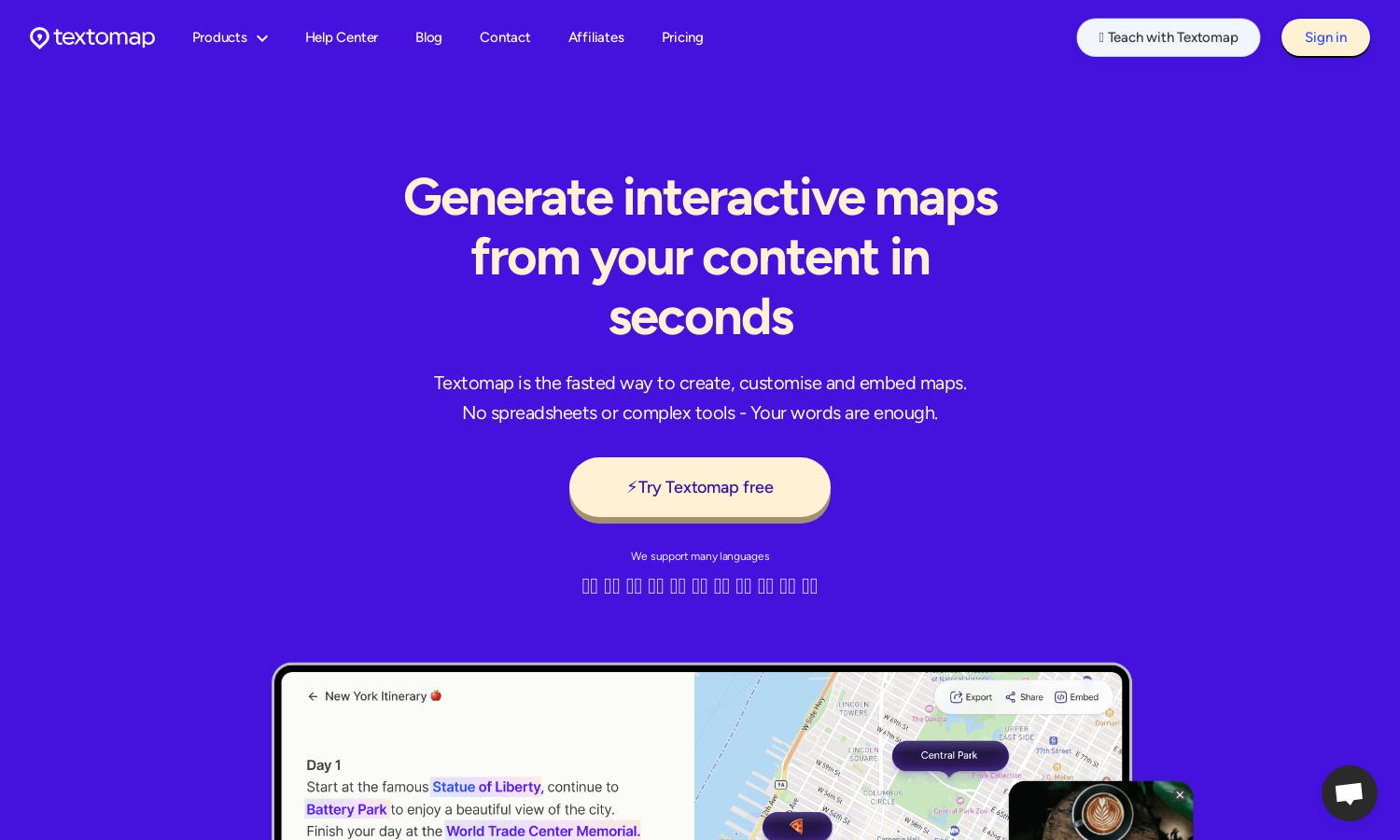
Textomap empowers users to transform written content into interactive maps, making geographical data visualization simple and efficient. Targeted at educators, bloggers, and travelers, its unique AI capabilities allow fast mapping from text or CSV sources, enhancing storytelling and engagement while saving time.
Textomap offers a free plan with limited features alongside a Pro subscription that unlocks unlimited maps and advanced tools. Users can benefit from additional functionalities at an affordable price, ensuring that educators, content creators, and businesses can customize their mapping needs.
Textomap features an intuitive user interface that streamlines the map creation process. Its layout enables seamless navigation and easy access to various tools, enhancing the user experience. Unique functionalities, such as text-based location assignment, make Textomap a standout mapping solution.
How Textomap works
Users start with Textomap by signing up for a free account. From there, they can input text containing location data or upload a CSV file. The platform intelligently recognizes and assigns locations to words or phrases, allowing users to customize maps effortlessly. Once created, maps can be edited, shared, or embedded without needing complex tools, creating a smooth and efficient process.
Key Features for Textomap
Interactive Map Generation
Textomap excels in interactive map generation, turning any location-based text into engaging maps. This key feature streamlines content visualization, allowing users, from bloggers to educators, to create and share maps quickly. Experience the ease of mapping with Textomap's innovative approach.
AI-Powered Location Assignment
Textomap leverages AI for automatic location assignment from text sources, revolutionizing mapping efficiency. This feature allows users to focus on content while the platform handles the logistics, making it simpler to produce accurate and visually engaging maps in no time.
Seamless CSV Integration
With Textomap's CSV integration, users can easily upload location data, ensuring efficient map creation. This unique feature simplifies the process for users who manage large datasets or need to visualize complex information quickly, enhancing overall productivity in map generation.
You may also like:


